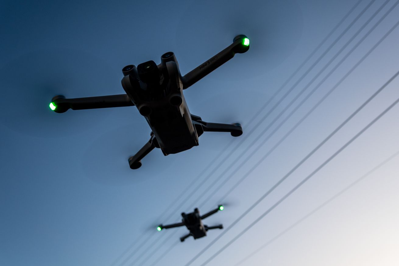
For over a decade, you couldn’t easily fly a DJI drone over restricted areas in the United States. DJI’s software would automatically stop you from flying over runways, power plants, public emergencies like wildfires, and the White House.
But confusingly, amidst the greatest US outpouring of drone distrust in years, and an incident of a DJI drone operator hindering LA wildfire fighting efforts, DJI is getting rid of its strong geofence. DJI will no longer enforce “No-Fly Zones,” instead only offering a dismissible warning — meaning only common sense, empathy, and the fear of getting caught by authorities will prevent people from flying where they shouldn’t.
In a blog post, DJI characterizes this as “placing control back in the hands of the drone operators.” DJI suggests that technologies like Remote ID, which publicly broadcasts the location of a drone and their operator during flight, are “providing authorities with the tools needed to enforce existing rules,” DJI global policy head Adam Welsh tells The Verge.
But it turns out the DJI drone that damaged a Super Scooper airplane fighting the Los Angeles wildfires was a sub-250-gram model that may not require Remote ID to operate, and the FBI expects it will have to “work backwards through investigative means” to figure out who flew it there.
DJI voluntarily created its geofencing feature, so it makes a certain degree of sense that the company would get rid of it now that the US government no longer seems to appreciate its help, is blocking some of its drone imports, calls DJI a “Chinese Military Company,” and has started the countdown clock on a de facto import ban.
“The FAA does not require geofencing from drone manufacturers,” FAA spokesperson Ian Gregor confirms to The Verge.
But former DJI head of global policy, Brendan Schulman, doesn’t seem to think this is a move for the better. Here are a few choice phrases he’s posted to X:
This is a remarkable shift in drone safety strategy with a potentially enormous impact, especially among drone pilots who are less aware of airspace restrictions and high-risk areas.
There was substantial evidence over the years that automatic drone geofencing, implemented using a risk-based approach, contributed significantly to aviation safety.
Interesting timing: Ten years almost to the day after a DJI drone infamously crash-lands on the White House lawn, DJI has removed the built-in geofencing feature that automatically impedes such an incident, replacing it with warnings that the user can choose to ignore.
Here are the questions we sent DJI, and the company’s answers:
1) Can you confirm that DJI no longer prevents its drones from taking off / flying into any locations whatsoever in the United States, including but not limited to military installations, over public emergency areas like wildfires, and critical government buildings like the White House?
Yes, this GEO update applies to all locations in the U.S and aligns with the FAA’s Remote ID objectives. With this update, prior DJI geofencing datasets have been replaced to display official FAA data. Areas previously defined as Restricted Zones (also known as No-Fly Zones) will be displayed as Enhanced Warning Zones, aligning with the FAA’s designated areas.
2) If it still does prevent drones from taking off / flying into some locations, which locations are those?
Not applicable.
3) Did DJI make this decision in consultation with or by direction of the US government or any specific government bodies, agencies, or representatives? If so, which? If not, why not?
This GEO update aligns with the principle advanced by aviation regulators around the globe — including the FAA — that the operator is responsible for complying with rules.
4) Did DJI run any risk analysis studies beforehand and if so, did it see a likelihood of abuse? What likelihood did it see? If not, why not?
The geofencing system that was in place prior was a voluntary safety measure introduced by DJI over 10 years ago when mass-produced small drones were a new entrant to the airspace, and regulators needed time to establish rules for their safe use.
Since then, the FAA has introduced Remote ID requirements, which means that drones flown in the U.S. must broadcast the equivalent of a “license plate” for drones. This requirement went into effect in early 2024, providing authorities with the tools needed to enforce existing rules.
“This update has been in development for some time, following similar changes successfully implemented in the E.U. last year, which showed no evidence of increased risk,” says Welsh. However, last year’s changes reportedly kept mandatory no-fly zones around UK airports.
Here in the United States, Welsh seems to suggest its apps won’t go that far. “To be clear: DJI flight apps will continue to voluntarily generate warnings if pilots attempt to fly into restricted airspace as designated by the FAA, provided that pilots keep their flight apps up to date,” he tells The Verge.

